
Insights
Hardware-agnostic drone software for scalable mission deployment
Deploy missions on any UAV with hardware-agnostic drone software built for simulation, validation, and scalable autonomous operations.
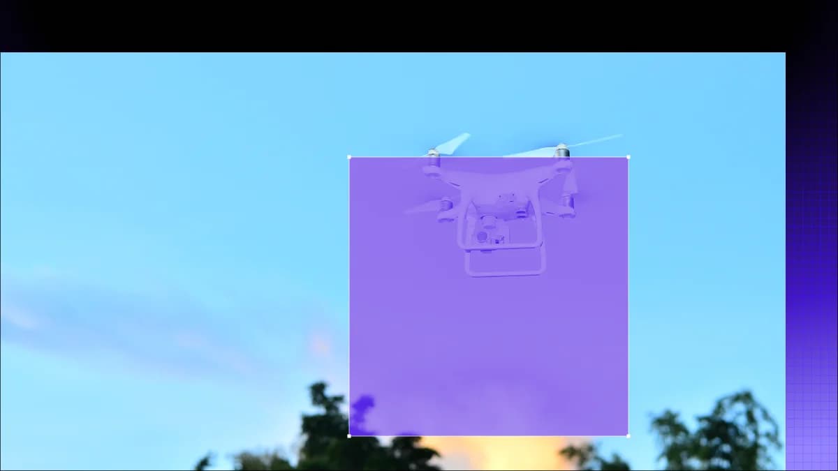
Logic for consistent, repeatable mapping routes
Ensuring data consistency
Scheduling multiple drones to map large areas simultaneously
Constructing high-resolution models from survey data
Logic for consistent, repeatable mapping routes
Ensuring data consistency
Scheduling multiple drones to map large areas simultaneously
Constructing high-resolution models from survey data


Deploy missions on any UAV with hardware-agnostic drone software built for simulation, validation, and scalable autonomous operations.
Explore drone mission simulation software that helps teams validate mission behavior, reduce rollout risk, and build repeatable UAV workflows before field deployment.
Explore a robotics simulator for UGV workflows that helps teams validate navigation logic, edge cases, and field readiness before live deployment.